Hello again its day 9 and I’m running in and out of service, so these blog updates will definitely be delayed!
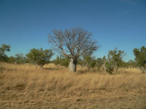
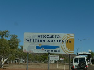
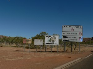
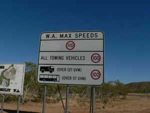
After the good sleep from last night we had a short and simple breakfast, packed up everything and headed off toward Kununurra which is about 50km west of the Western Australian border. Taking pictures of the rock formations on the way we finally hit the border woohoo!
The border has restrictions on some foods, in particular soil like on potatoes and onions, and also honey. You can buy WA approved heat treated honey that you can take across the border but we just didn’t have any honey anyway. The border control man did take our snow peas and cherries, which my mum was a bit sad about but we would be able to pick some more up when we got into town.
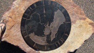
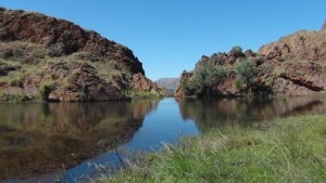
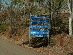
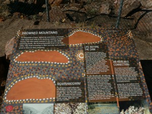
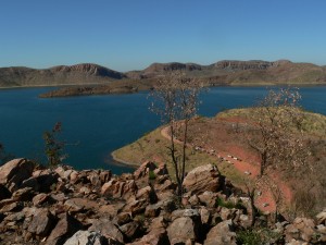
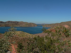
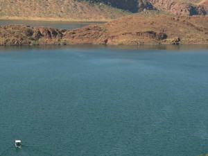
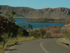
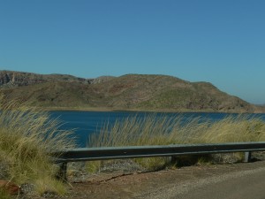
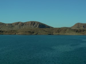
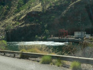
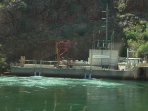
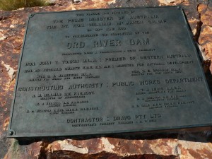
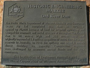
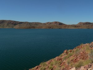
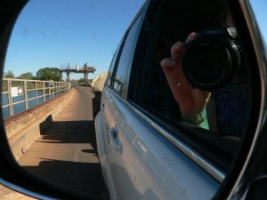
A few minutes later my dad suggested we go and have a look at Lake Argyle, since it was less than 60km off of the main highway. So we went down the dirt road down towards the lake. I’m really glad we did because when we got there an amazing spectacle rose out of the land before us. Lake Argyle has a lot of interesting facts, a few of which are printed onto this nice stubby cooler I got from the visitor centre there.
Some of the facts are:
– 1000 km squared surface area, with 2100 km squared in flood
– <insert more facts here>
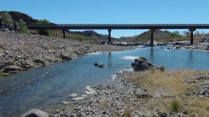
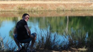
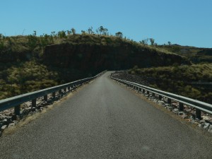
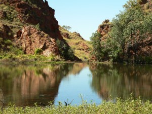
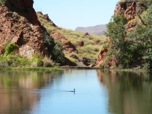
After we ogled at the size of the lake and had some lunch at a little park near the outlet of one of the walls, which was quite pretty, we continued on out of the place. We drove further westward to Kununurra in hopes of grabbing fuel and groceries. The rest of the day is full of driving and finally stopping for the day at a little causeway which was once part of the Great Northern Highway but had since been outdated by a new shiny bridge. The camp spot was called Muluki rest area and it was quite nice, however it was very cold at night, dropping down to 3.6 degrees Celsius. That was our coldest night to date!
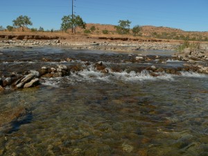
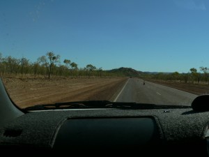
Here’s some pictures of day 9, enjoy!
Thanks for reading,
Trav.
